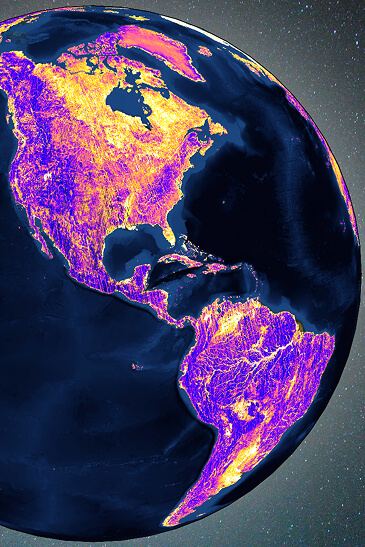
MSIR Data provides multispectral infrared imagery from our Quickbeam instrument, delivering thermal and environmental intelligence.
Data Products
Calibrated Data, Delivered Where You Need It.
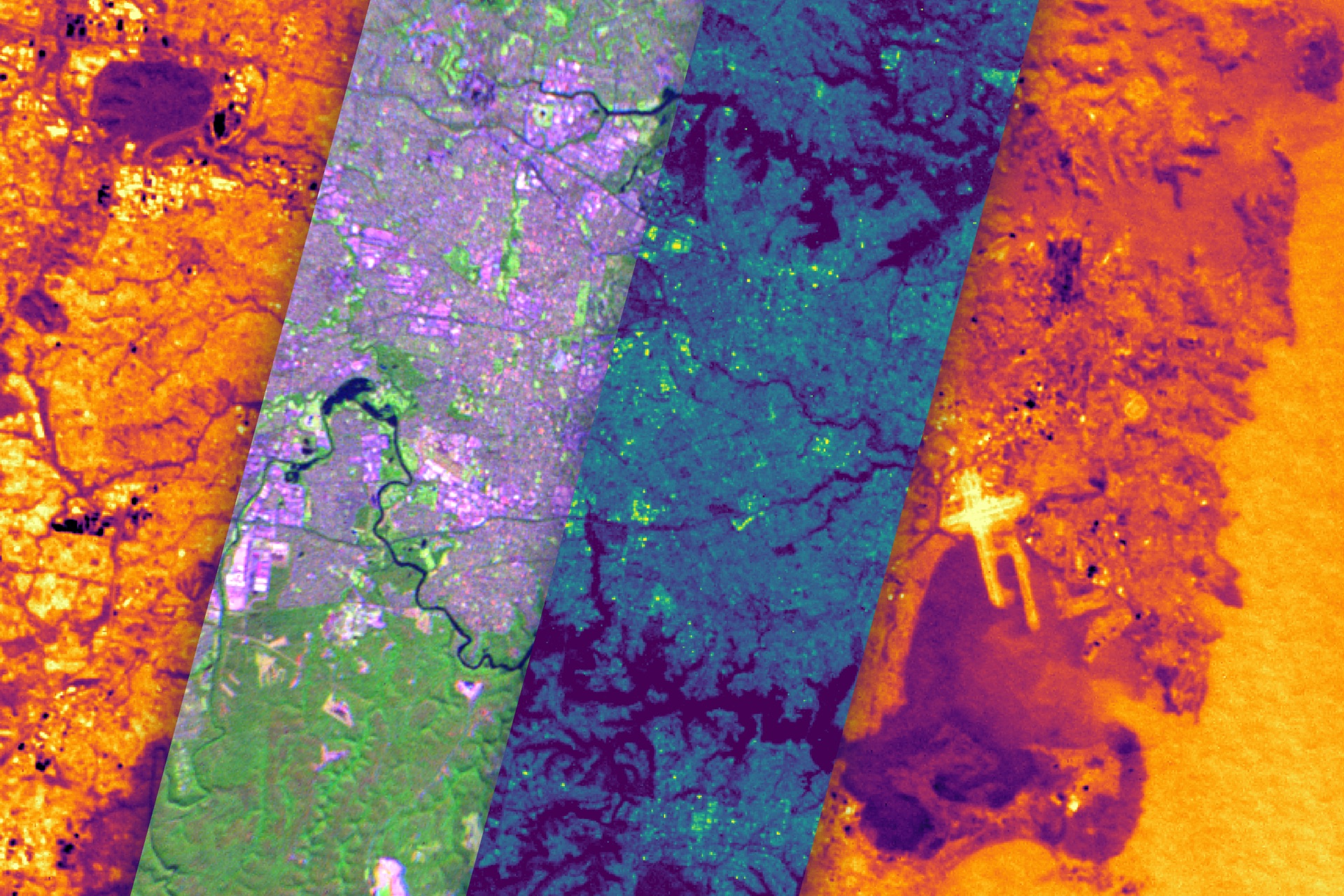
We deliver Earth intelligence across two complementary data streams, available as calibrated, multi-level data products delivered directly to customer cloud environments.
Data Stream 01
Multispectral Infrared (MSIR)
Broad-area thermal intelligence across six channels.
Six channels — Red, NIR, SWIR, MWIR1, MWIR1a, LWIR
1,500 km swath scans — enablesing broad-area thermal characterization and target discrimination
Data products — available as L1B single-band frames and orthomosaic tiles
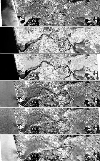
From daily coverage today to hourly revisit by 2030.
MSIR imagery is collected by Muon-built constellations, purpose-built for global wildfire detection and thermal monitoring.
Protoflight satellite — launched in March 2025, provides daily global coverage
Initial operational capability (IOC) — deployment in 2026, brings twice-daily revisit, with Full operational capability (FOC): progressive constellation buildout continuing through 2030 to achieve hourly global revisit
Data Stream 02
GNSS-Reflectometry (GNSS-R) Data
Soil moisture and ocean wind speed from reflected GNSS signals.
Our Signals of Opportunity (SoOpr) instrument, flying on three spacecraft, captures reflected GNSS signals using nadir-facing antennas and processes them into calibrated delay Doppler maps (DDMs) with full geolocation and quality metadata.
Three processing levels. Every application covered.
L1 — calibrated DDMs with reflectivity, bistatic radar cross section, and specular point geometry
L2 — trackwise and daily retrievals of soil moisture and ocean wind speed
L3 — gridded products at hourly and daily intervals